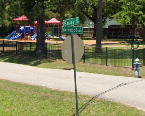
Spring Branch began as a religious community settled by German farmers in the mid-to-late 1840s, many of whom owned dairies. Some of the earliest settlers included August Bauer and his wife Emilie
Spring Branch was organized into an independent school district in 1946, shortly after Superintendent H.M. Landrum returned from World War II. This moment set the course for a remarkable period of growth
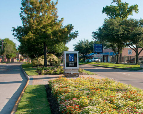
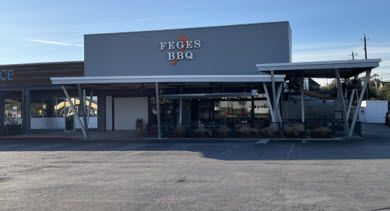
Spring Branch Center is the central portion of the larger Spring Branch community. It is located north of the Village of Spring Valley, south of Clay Road, west of Bingle and east
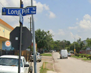
Spring Branch East, located east of Bingle, is the oldest part of the larger Spring Branch community. Many industrial and warehouse developments are found in the northern and eastern parts of the
Spring Branch North is located north of Interstate 10, between Campbell Road and W. Sam Houston Parkway. The predominant land use in the area is single family, mostly in deed restricted subdivisions.
Spring Branch West is located north of I-10 and west of Blalock. Gessner Road and W. Sam Houston Parkway North are the major north-south arteries in the area. Light industrial uses, including
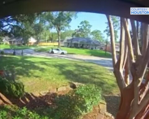
We’ve learned more about the three men arrested Tuesday after a Houston police officer was shot and wounded while responding to a home invasion in the Spring Branch area. Two of the suspects have prior convictions
HOUSTON, Texas (KTRK), By Kevin Ozebek and Sarah Rafique -- Across the Houston region this week alone, there's been a student stabbed at a high school, a gun allegedly found on campus,
By Miranda Dunlap, Houston Landing -- In an uncommon move designed to help close a budget crunch, Spring Branch Independent School District will allow 150 students living outside its boundaries to attend